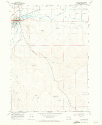
1967 Map of Vale East
USGS Topo · Published 1971About this map
Vale serves as the focal point of this late 1960s landscape, situated at the confluence of the Malheur River, Willow Creek, and Bully Cr. The town's layout reflects its importance as a regional hub, with the Union Pacific railroad and Lytle Boulevard providing critical transportation links. North of the river, Pioneer Cem and Valley View Cem offer significant touchpoints for genealogical research, documenting the early residency of this high desert community.
Find a feature on this map
27 named features on this map. Tap any name to fly to it.
Don’t see what you’re looking for? This feature index may not catch every label — zoom into the map to look around manually.
Map Details
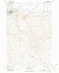
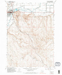
Editions of this 1967 Vale East Map
3 editions found
Other maps of this area

1906 · Mitchell Butte
USGS Topo · 1:125,000

1950 · Jamieson
USGS Topo · 1:62,500

1951 · Malheur Butte
USGS Topo · 1:24,000

1951 · Moores Hollow
USGS Topo · 1:62,500

1955 · Baker
USGS Topo · 1:250,000

1955 · Boise
USGS Topo · 1:250,000

1958 · Boise
USGS Topo · 1:250,000

1959 · Baker
USGS Topo · 1:250,000

1962 · Boise
USGS Topo · 1:250,000
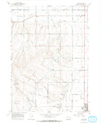
1967 · Cairo
USGS Topo · 1:24,000