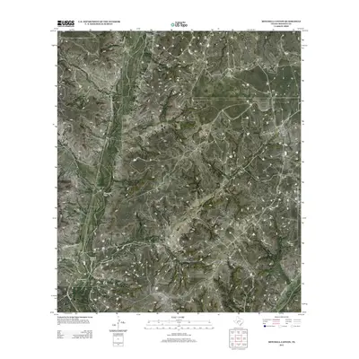
2012 Map of Mitchell Canyon
USGS Topo · Published 2012About this map
Mitchell Canyon and the surrounding high desert terrain of Crockett County are defined by a network of drainage features and sparse ranching infrastructure. This landscape, characterized by the winding paths of Escondido Draw and Government Draw, reflects the essential relationship between water management and land use in West Texas. The presence of Mogul Ranch in the eastern portion of the map indicates the continued importance of large-scale ranching operations in this region. Transportation across these vast stretches of land is facilitated by a system of rural thoroughfares, including Ranch Road 2083 and Howard Draw Rd. These routes, along with Co Hwy 405 and Co Rd 407, serve as the primary links between isolated ranch sites and the broader county infrastructure during the early twenty-first century.
Find a feature on this map
8 named features on this map. Tap any name to fly to it.
Don’t see what you’re looking for? This feature index may not catch every label — zoom into the map to look around manually.
Map Details
Editions of this 2012 Mitchell Canyon Map
This is the sole edition of this map. No revisions or reprints were ever made.
Other maps of this area

1929 · Sheffield
USGS Topo · 1:125,000

1954 · Sonora
USGS Topo · 1:250,000

1958 · Sonora
USGS Topo · 1:250,000

1967 · Burnt Canyon
USGS Topo · 1:24,000

1967 · Pikes Peak
USGS Topo · 1:24,000

1967 · Hunt Ranch
USGS Topo · 1:24,000

1967 · Bachelor Hill
USGS Topo · 1:24,000
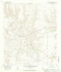
1967 · Mitchell Canyon NE
USGS Topo · 1:24,000

1967 · Mitchell Canyon
USGS Topo · 1:24,000

1970 · Howards Well NE
USGS Topo · 1:24,000