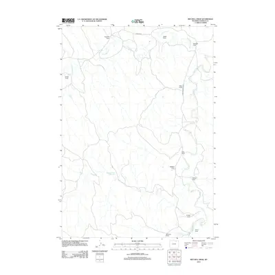
2012 Map of Mitchell Draw
USGS Topo · Published 2012About this map
Crazy Woman Cr and the Powder River wind through this corner of Johnson County, defining a landscape of deep drainage systems and water management. This 2012 survey illustrates the arid character of the region, where water resources are concentrated in features like the Henry Number 1 Reservoir. The intricate network of draws, many bearing family or descriptive names such as Mitchell Draw, Jewell Draw, and Keathley Draw, indicates a terrain shaped by seasonal runoff and long-standing grazing or ranching boundaries. Access across these dry washes is facilitated by routes like Upper Powder River Rd and Tipperary Rd, which follow the natural contours of the river valleys. The map provides a clear record of the rural infrastructure and named topographical points that have persisted into the 21st century, serving as a vital reference for understanding local land use and hydrology.
Find a feature on this map
16 named features on this map. Tap any name to fly to it.
Don’t see what you’re looking for? This feature index may not catch every label — zoom into the map to look around manually.
Map Details
Editions of this 2012 Mitchell Draw Map
This is the sole edition of this map. No revisions or reprints were ever made.
Other maps of this area

1955 · Sheridan
USGS Topo · 1:250,000

1958 · Sheridan
USGS Topo · 1:250,000

1962 · Sheridan
USGS Topo · 1:250,000

1972 · Mitchell Draw
USGS Topo · 1:24,000
1972 · Bear Draw
USGS Topo · 1:24,000
1972 · Lariat
USGS Topo · 1:24,000
1972 · Jewell Draw
USGS Topo · 1:24,000
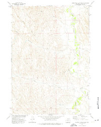
1972 · Somerville Flats West
USGS Topo · 1:24,000
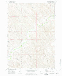
1972 · Floate Draw
USGS Topo · 1:24,000
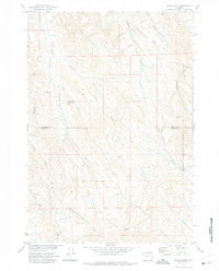
1972 · Arpan Butte
USGS Topo · 1:24,000