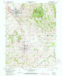
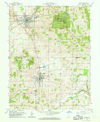
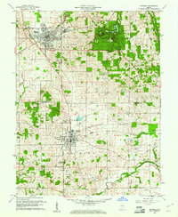
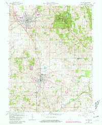
1960 Map of Mitchell
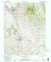
USGS Topo · Published 1989About this map
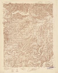
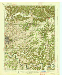
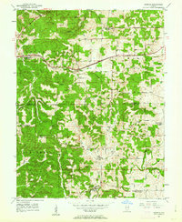
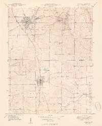
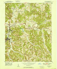
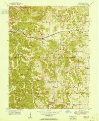
Spring Mill State Park serves as a major focal point in this southern Indiana landscape, featuring the historic Spring Mill Village and the Purdue Experimental Orchard. The map illustrates a complex transportation network where the Baltimore and Ohio, Louisville and Nashville, and Monon railroads converge near the industrial and residential centers of Mitchell and Orleans. A unique historical marker, the Old Indian Treaty Boundary, cuts diagonally across the terrain, reflecting the early 19th-century division of the land. Further south, the winding path of the Lost River and the Muddy Fork dominate the rural landscape, punctuated by local landmarks like Union Chapel and the Orleans Airport. This record of the late 1940s and 1950s shows the region’s development before significant modern expansion, preserving the locations of rural cemeteries like Freedom Cem and the Burris Sch.
Find a feature on this map
27 named features on this map. Tap any name to fly to it.
Don’t see what you’re looking for? This feature index may not catch every label — zoom into the map to look around manually.
Map Details
Editions of this 1960 Mitchell Map
5 editions found
Other maps of this area
1934 · Bedford
USGS Topo · 1:48,000

1935 · Oolitic
USGS Topo · 1:48,000
1937 · Bedford
USGS Topo · 1:62,500

1942 · Oolitic
USGS Topo · 1:62,500
1949 · Georgia
USGS Topo · 1:24,000
1950 · Mitchell
USGS Topo · 1:24,000
1951 · French Lick
USGS Topo · 1:24,000
1951 · Georgia
USGS Topo · 1:24,000

1956 · Vincennes
USGS Topo · 1:250,000

1957 · Vincennes
USGS Topo · 1:250,000