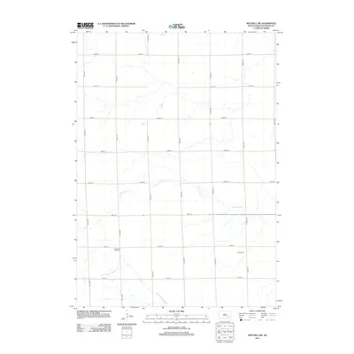
2012 Map of Mitchell SW
USGS Topo · Published 2012About this map
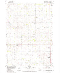
Twelvemile Cr and the S Fork Twelvemile Cr wind through this rural section of Davison County, defining a landscape of agriculture and water management. The survey area, primarily within Union Township, reflects the enduring grid-based infrastructure of the Great Plains, where roads like 266th St and 401st Ave intersect to form the backbone of local travel. Historically significant sites for genealogists include the Church of God Cem and Emsley Cem, which serve as quiet markers of the community's early settlement and religious life. The northern boundary is traced by Enemy Cr, while the rest of the terrain is marked by seasonal drainages and small basins typical of the region south of Mitchell.
Find a feature on this map
21 named features on this map. Tap any name to fly to it.
Don’t see what you’re looking for? This feature index may not catch every label — zoom into the map to look around manually.
Map Details
Editions of this 2012 Mitchell SW Map
This is the sole edition of this map. No revisions or reprints were ever made.
Other maps of this area

1899 · Mitchell
USGS Topo · 1:125,000

1955 · Mitchell
USGS Topo · 1:250,000

1957 · Mitchell
USGS Topo · 1:24,000

1959 · Mitchell
USGS Topo · 1:250,000
1979 · Delmont NE
USGS Topo · 1:24,000
1979 · Hillside
USGS Topo · 1:24,000

1980 · Corsica Lake
USGS Topo · 1:24,000

1980 · Old Stickney Lake
USGS Topo · 1:24,000
1980 · Mitchell SW
USGS Topo · 1:24,000
1980 · Shoemaker Dam
USGS Topo · 1:24,000