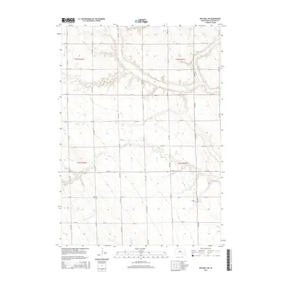
2015 Map of Mitchell SW
USGS Topo · Published 2015About this map
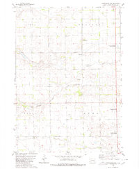
Twelvemile Cr and its S Fork meander through this agricultural landscape in Davison County, defining the drainage patterns of the eastern South Dakota plains. The map reveals a strictly regulated section-line road network, where gravel routes like 264th St and 400th Ave serve a scattered collection of farmsteads. For local historians and genealogists, the survey identifies important communal sites such as the Church of God Cem and the Emsley Cem, which serve as quiet markers of the families who settled this prairie land. The terrain is characterized by subtle elevation changes and small depressions typical of the glacial till plains, with the creek beds providing the primary relief against the surrounding tilled fields.
Find a feature on this map
24 named features on this map. Tap any name to fly to it.
Don’t see what you’re looking for? This feature index may not catch every label — zoom into the map to look around manually.
Map Details
Editions of this 2015 Mitchell SW Map
This is the sole edition of this map. No revisions or reprints were ever made.
Other maps of this area

1899 · Mitchell
USGS Topo · 1:125,000

1955 · Mitchell
USGS Topo · 1:250,000

1957 · Mitchell
USGS Topo · 1:24,000

1959 · Mitchell
USGS Topo · 1:250,000
1979 · Delmont NE
USGS Topo · 1:24,000
1979 · Hillside
USGS Topo · 1:24,000

1980 · Corsica Lake
USGS Topo · 1:24,000

1980 · Old Stickney Lake
USGS Topo · 1:24,000
1980 · Mitchell SW
USGS Topo · 1:24,000
1980 · Shoemaker Dam
USGS Topo · 1:24,000