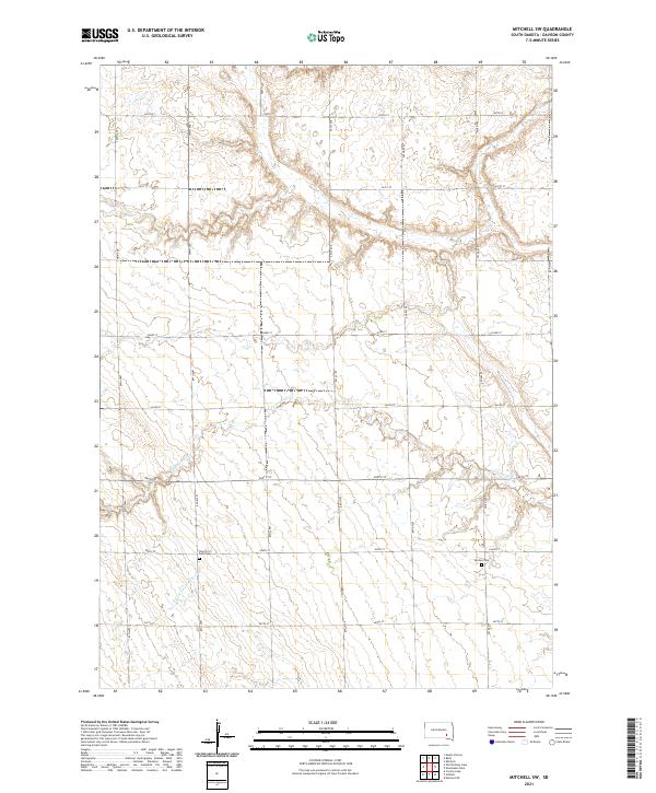
2021 Map of Mitchell SW
USGS Topo · Published 2021About this map
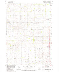
Twelvemile Creek and the South Fork Twelvemile Creek carve a series of branching drainage patterns across this rural South Dakota landscape. The terrain is defined by a grid of agricultural section lines, where north-south avenues such as 400th Ave and 403rd Ave intersect with an east-west road network. Local history is anchored by the Church of God Cemetery and the Emsley Cemetery, both situated in the southern half of the quadrangle. These sites, along with the precise township and range demarcations like t101n r61w, provide essential spatial references for understanding the rural settlement patterns and land divisions of Davison County in the early twenty-first century.
Find a feature on this map
23 named features on this map. Tap any name to fly to it.
Don’t see what you’re looking for? This feature index may not catch every label — zoom into the map to look around manually.
Map Details
Editions of this 2021 Mitchell SW Map
This is the sole edition of this map. No revisions or reprints were ever made.
Other maps of this area

1899 · Mitchell
USGS Topo · 1:125,000

1955 · Mitchell
USGS Topo · 1:250,000

1957 · Mitchell
USGS Topo · 1:24,000

1959 · Mitchell
USGS Topo · 1:250,000
1979 · Delmont NE
USGS Topo · 1:24,000
1979 · Hillside
USGS Topo · 1:24,000

1980 · Corsica Lake
USGS Topo · 1:24,000

1980 · Old Stickney Lake
USGS Topo · 1:24,000
1980 · Mitchell SW
USGS Topo · 1:24,000
1980 · Shoemaker Dam
USGS Topo · 1:24,000