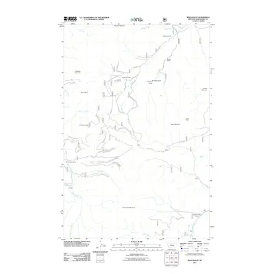
2011 Map of Mixes Baldy
USGS Topo · Published 2011About this map
Lone Tree Park serves as a central hub for the network of mountain roads and gulches that characterize this portion of Judith Basin County. The topography is defined by high-elevation landmarks such as Mixes Baldy, Clendenin Mountain, and Anderson Peak, with drainage flowing through a series of named gulches and creeks like Gold Run Creek and Dry Fork Belt Creek. The presence of the Lone Tree Park Cemetery and localized settlements like Oti Park points to a landscape shaped by early mountain habitation and resource extraction.
Find a feature on this map
45 named features on this map. Tap any name to fly to it.
Don’t see what you’re looking for? This feature index may not catch every label — zoom into the map to look around manually.
Map Details
Editions of this 2011 Mixes Baldy Map
This is the sole edition of this map. No revisions or reprints were ever made.
Other maps of this area

1886 · Little Belt Mts.
USGS Topo · 1:250,000

1890 · Fort Benton
USGS Topo · 1:250,000

1892 · Fort Benton
USGS Topo · 1:250,000

1894 · Little Belt Mts.
USGS Topo · 1:250,000

1897 · Fort Benton
USGS Topo · 1:250,000

1897 · Little Belt Mts.
USGS Topo · 1:250,000

1898 · Little Belt Mts.
USGS Topo · 1:250,000

1902 · Little Belt Mts.
USGS Topo · 1:250,000

1948 · White Sulphur Springs
USGS Topo · 1:250,000

1954 · Great Falls
USGS Topo · 1:250,000