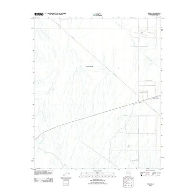
2011 Map of Mobile
USGS Topo · Published 2011About this map
Espanto Mountain anchors this desert landscape in southern Maricopa County, overlooking a network of ephemeral drainage systems including Waterman Wash and the West Prong Waterman Wash. The settlement of Mobile sits at the nexus of the region's transport corridor, flanked by the residential cluster of Mobile Valley. This area is defined by its wide-open aviation and utility infrastructure, featuring multiple private airstrips such as Schu Ranch Airport, Mel's Ranch Airport, and the Mobile Airport.
Find a feature on this map
25 named features on this map. Tap any name to fly to it.
Don’t see what you’re looking for? This feature index may not catch every label — zoom into the map to look around manually.
Map Details
Editions of this 2011 Mobile Map
This is the sole edition of this map. No revisions or reprints were ever made.
Other maps of this area
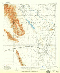
1913 · Maricopa
USGS Topo · 1:62,500
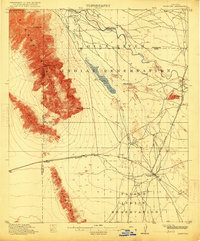
1915 · Maricopa
USGS Topo · 1:62,500
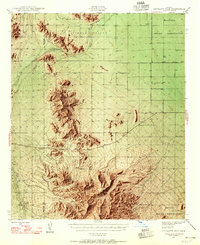
1946 · Antelope Peak
USGS Topo · 1:62,500
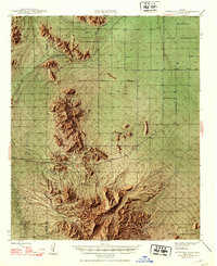
1948 · Antelope Peak
USGS Topo · 1:62,500
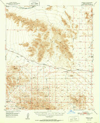
1951 · Estrella
USGS Topo · 1:62,500
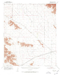
1951 · Mobile
USGS Topo · 1:62,500
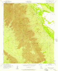
1952 · Montezuma Peak
USGS Topo · 1:24,000
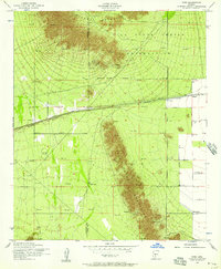
1952 · Enid
USGS Topo · 1:24,000
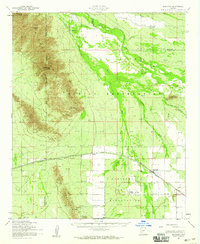
1952 · Maricopa
USGS Topo · 1:62,500
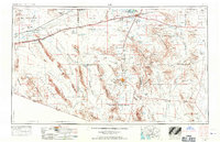
1953 · Ajo
USGS Topo · 1:250,000