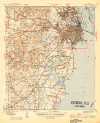
1944 Map of Mobile
USGS Topo · Published 1944About this map
The Mobile waterfront and its complex delta system define this landscape during the mid-1940s, showing a city deeply integrated with the Mobile River and the surrounding coastal marshlands. The industrial and maritime character of the era is evident at Pinto Island and the Quarantine station on Sand Island, while the city’s landward growth is marked by institutions like Spring Hill College and the Visitation Convent. Inland, the map captures the transition from the urban grid to outlying settlements like Crichton and Theodore. The rail infrastructure of the Gulf Mobile and Ohio and the Southern railroads highlights Mobile's role as a critical Gulf Coast transportation hub. Of particular note for local historians is the detailed layout of the Magnolia Cemetery and the presence of numerous neighborhood schools and churches, such as St Marys Ch and St Edwards Ch, which anchor the various residential districts of the period.
Find a feature on this map
79 named features on this map. Tap any name to fly to it.
Don’t see what you’re looking for? This feature index may not catch every label — zoom into the map to look around manually.
Map Details
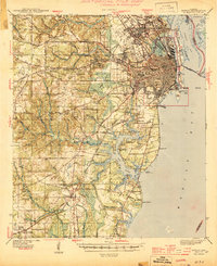
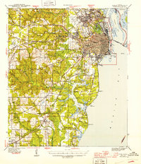
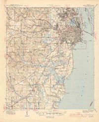
Editions of this 1944 Mobile Map
4 editions found
Other maps of this area

1921 · Grand Bay
USGS Topo · 1:62,500

1921 · Point Clear
USGS Topo · 1:62,500

1921 · Fairhope
USGS Topo · 1:62,500

1921 · Delchamps
USGS Topo · 1:62,500

1922 · Mobile
USGS Topo · 1:62,500

1939 · Daphne
USGS Topo · 1:31,680

1940 · Hollingers Island
USGS Topo · 1:31,680

1940 · Mobile
USGS Topo · 1:31,680

1940 · Mobile
USGS Topo · 1:62,500

1941 · Chickasaw
USGS Topo · 1:31,680