Loading...
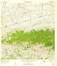
Loading map...1956 Map of Moca
USGS Topo · Published 1959About this map
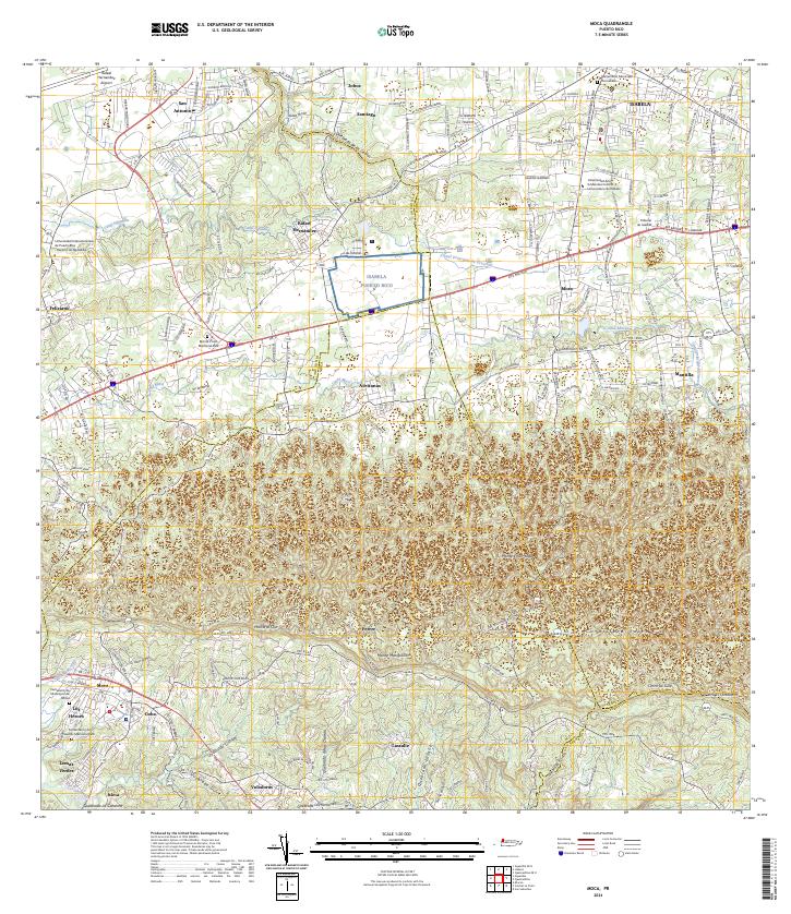
The town of Moca and the surrounding karst landscape are defined by a mix of agricultural industry and complex topography. In the mid-1950s, the region was punctuated by several large sugar mills, including Central Isabel No 2 and Central Principal No 1, reflecting the era's economic reliance on sugarcane production. The terrain transitions from the low-lying Río Culebrinas basin to the prominent limestone ridges of the Cordillera Jaicoa.
Find a feature on this map
70 named features on this map. Tap any name to fly to it.
Don’t see what you’re looking for? This feature index may not catch every label — zoom into the map to look around manually.
Map Details
Date Portrayed1956
Date Published1959
PublisherU.S. Geological Survey
Map TypeTopographic
Scale1:20,000
Physical Dimensions27.8 x 32 inches
Editions of this 1956 Moca Map
This is the sole edition of this map. No revisions or reprints were ever made.
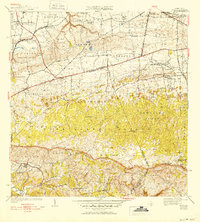
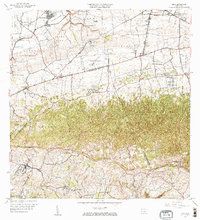
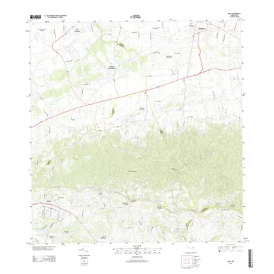
Historical Maps of Moca Through Time
8 maps found


Featured Locations
- Reparto Méndez, Isabela
- Sector Los Laureles, Aguadilla
- Reparto Santa María, Aguadilla
- Sector Nieves, Moca
- Moca, Moca
Source Details
SourceU.S. Geological Survey
CopyrightPublic Domain