Loading...
Loading map...1942 Map of Moca
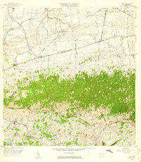
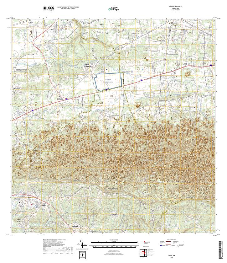
USGS Topo · Published 1952About this map
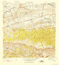
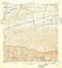
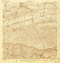
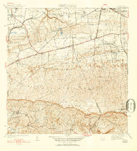
Moca and the surrounding barrios are depicted in this mid-century survey, which reveals the transition from the upland limestone karst of Aceitunas and Centro down toward the alluvial valley of the Río Culebrinas. The landscape is intricately partitioned into traditional agricultural units like Arenales Altos and Galateo Bajo, while the coastal rail infrastructure is still prominent through the American R. R. of Porto Rico and its local stops such as Estación Montaña.
Find a feature on this map
60 named features on this map. Tap any name to fly to it.
Don’t see what you’re looking for? This feature index may not catch every label — zoom into the map to look around manually.
Map Details
Date Portrayed1942
Date Published1952
PublisherU.S. Geological Survey
Map TypeTopographic
Scale1:30,000
Physical Dimensions19.6 x 21.8 inches
Editions of this 1942 Moca Map
5 editions found

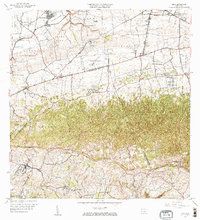
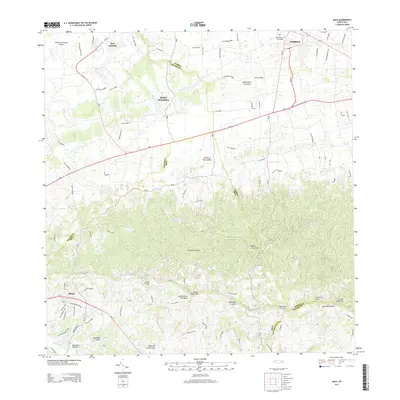
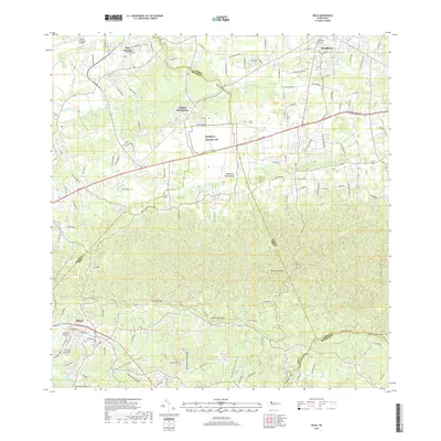
Historical Maps of Moca Through Time
8 maps found


Featured Locations
- Reparto Méndez, Isabela
- Sector Los Laureles, Aguadilla
- Reparto Santa María, Aguadilla
- Sector Nieves, Moca
- Moca, Moca
Source Details
SourceU.S. Geological Survey
CopyrightPublic Domain