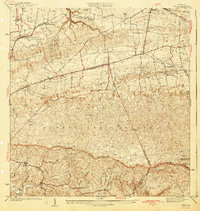
1942 Map of Moca
USGS Topo · Published 1942About this map
Moca sits at the base of the dramatic Cordillera Jaicoa, a landscape defined by the sharp transition from coastal lowlands to complex limestone ridges. In the early 1940s, the region's connectivity was anchored by the American R R and a network of traditional routes like the Camino Militar and Camino de Cruces. The map captures the social heart of rural communities through its careful marking of religious and educational landmarks, including the Iglesia de la Virgen del Rosario and the Escuela Segunda Unidad de Voladoras. Civil infrastructure of the era is evident in the Planta Electrica de Isabela and the various agricultural research stations such as Estacion Montana. To the south, the Rio Culebrinas winds through the valley floor, collecting waters from tributaries like Quebrada Grande and Quebrada Dulce.
Find a feature on this map
38 named features on this map. Tap any name to fly to it.
Don’t see what you’re looking for? This feature index may not catch every label — zoom into the map to look around manually.
Map Details
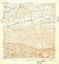
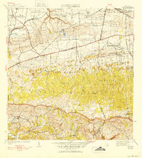
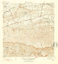
Editions of this 1942 Moca Map
5 editions found

Other maps of this area

1937 · Aguadilla
USGS Topo · 1:20,000

1937 · Moca
USGS Topo · 1:20,000

1938 · Alto Sano
USGS Topo · 1:20,000

1938 · San Sebastian
USGS Topo · 1:20,000

1938 · Quebradillas
USGS Topo · 1:20,000

1941 · Moca
USGS Topo · 1:30,000

1941 · Rincon
USGS Topo · 1:30,000

1941 · Rincon
USGS Topo · 1:30,000

1941 · Isabela
USGS Topo · 1:30,000

1941 · San Sebastian
USGS Topo · 1:30,000
Featured Places
- Moca
- Sector Los Laureles, Aguadilla
- Reparto Méndez, Isabela
- Reparto Santa María, Aguadilla
- Sector Nieves, Moca