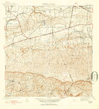
1942 Map of Moca
USGS Topo · Published 1952About this map
The town of Moca sits at the base of dramatic limestone karst formations, serving as a gateway between the northern coastal plains and the interior mountains of Puerto Rico. This survey, based on work from the 1920s and 30s, reveals a landscape defined by small agricultural settlements and the winding course of the Rio Culebrinas. The infrastructure of the era is remarkably visible, following the American R. R. of Porto Rico as it skirts the northern edge of the hills, connecting stops like Estacion Santiago and Estacion Montana. Local industry and public works are anchored by the Planta Electrica de Isabela and the Planta de Filtracion, while rural life is centered around local institutions such as the Escuela Segunda Unidad de Voladoras and the Iglesia de la Virgen del Rosario. The map captures the complex topography of the Jaicoa and Centro Cordillera ranges, dotted with named peaks like Monte Mariquita and Cerro La Silla.
Find a feature on this map
66 named features on this map. Tap any name to fly to it.
Don’t see what you’re looking for? This feature index may not catch every label — zoom into the map to look around manually.
Map Details
Editions of this 1942 Moca Map
5 editions found

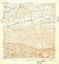
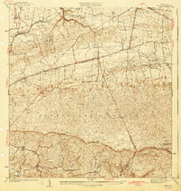
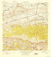
Other maps of this area

1937 · Aguadilla
USGS Topo · 1:20,000

1937 · Moca
USGS Topo · 1:20,000

1938 · Alto Sano
USGS Topo · 1:20,000

1938 · San Sebastian
USGS Topo · 1:20,000

1938 · Quebradillas
USGS Topo · 1:20,000

1941 · Moca
USGS Topo · 1:30,000

1941 · Rincon
USGS Topo · 1:30,000

1941 · Rincon
USGS Topo · 1:30,000

1941 · Isabela
USGS Topo · 1:30,000

1941 · San Sebastian
USGS Topo · 1:30,000
Featured Places
- Moca
- Sector Los Laureles, Aguadilla
- Reparto Méndez, Isabela
- Reparto Santa María, Aguadilla
- Sector Nieves, Moca