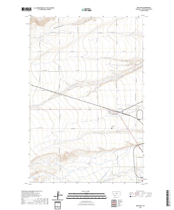
2024 Map of Moccasin
USGS Topo · Published 2024About this map
Moccasin serves as the primary settlement hub in this part of Judith Basin County, centered near the intersection of several county roads and local streets like Railway St and 1st St. The town's local history is anchored by the Moccasin Cem and the Po, which suggest a long-standing community footprint. The landscape is defined by the drainage patterns of Louse Creek, which flows northeast across the central townships, and the larger Judith River that cuts through the southern reaches. High-plateau features like Big Sagebrush Coulee and unique local nomenclature such as Macaroni Hill Rd and Broken Pipe point to the area's agricultural and ranching heritage. Water management is evident through the presence of the Murray Ditch, indicating the importance of irrigation in this Montana prairie environment.
Find a feature on this map
39 named features on this map. Tap any name to fly to it.
Don’t see what you’re looking for? This feature index may not catch every label — zoom into the map to look around manually.
Map Details
Editions of this 2024 Moccasin Map
This is the sole edition of this map. No revisions or reprints were ever made.
Other maps of this area

1886 · Little Belt Mts.
USGS Topo · 1:250,000

1889 · Big Snowy Mountain
USGS Topo · 1:250,000

1890 · Fort Benton
USGS Topo · 1:250,000

1892 · Fort Benton
USGS Topo · 1:250,000

1893 · Big Snowy Mountain
USGS Topo · 1:250,000

1894 · Little Belt Mts.
USGS Topo · 1:250,000

1897 · Fort Benton
USGS Topo · 1:250,000

1897 · Little Belt Mts.
USGS Topo · 1:250,000

1898 · Little Belt Mts.
USGS Topo · 1:250,000

1902 · Little Belt Mts.
USGS Topo · 1:250,000