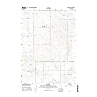
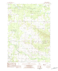
2017 Map of Moddersville
USGS Topo · Published 2017About this map
West Moddersville Cem and East Moddersville Cem mark the heritage of this rural landscape where the northern boundary of Clare Co meets Missaukee Co. The settlement of Moddersville sits at a central crossroads, surrounded by a complex network of wetlands including Spitzbergen Marsh and the expansive Modders Swamp. This terrain is defined by its water-rich geography, with Cranberry Cr flowing south toward the winding path of the Muskegon River.
Find a feature on this map
73 named features on this map. Tap any name to fly to it.
Don’t see what you’re looking for? This feature index may not catch every label — zoom into the map to look around manually.
Map Details
Editions of this 2017 Moddersville Map
This is the sole edition of this map. No revisions or reprints were ever made.
Other maps of this area

1954 · Traverse City
USGS Topo · 1:250,000
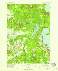
1956 · Houghton Lake
USGS Topo · 1:62,500
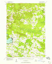
1956 · Lake City
USGS Topo · 1:62,500
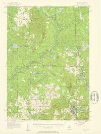
1957 · Harrison
USGS Topo · 1:62,500
1957 · Marion
USGS Topo · 1:62,500

1958 · Traverse City
USGS Topo · 1:250,000
1983 · Cadillac
USGS Topo · 1:100,000
1983 · Temple
USGS Topo · 1:25,000
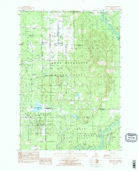
1983 · Moddersville
USGS Topo · 1:25,000
1983 · Dinca
USGS Topo · 1:25,000