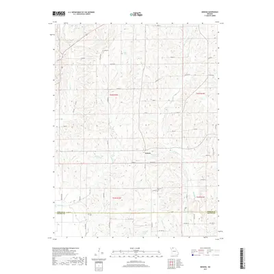
2017 Map of Modena
USGS Topo · Published 2017About this map
Modena sits as the central point of interest in this section of Northern Missouri, where the landscape is defined by the winding tributaries of W Muddy Cr and Martin Cr. The area is characterized by its agricultural heritage and small-scale water management, evidenced by numerous named bodies of water such as King Lake, Dean Lake, and two separate entries for Hamilton Lake. These water features, alongside smaller catchments like Allen Pond, suggest a history of land use centered on livestock or localized drainage.
Find a feature on this map
61 named features on this map. Tap any name to fly to it.
Don’t see what you’re looking for? This feature index may not catch every label — zoom into the map to look around manually.
Map Details
Editions of this 2017 Modena Map
This is the sole edition of this map. No revisions or reprints were ever made.
Other maps of this area

1925 · Gilman
USGS Topo · 1:62,500

1946 · Gilman
USGS Topo · 1:48,000

1946 · Princeton
USGS Topo · 1:62,500

1947 · Blythedale
USGS Topo · 1:62,500

1948 · Gilman
USGS Topo · 1:62,500

1948 · Princeton
USGS Topo · 1:62,500

1948 · Trenton
USGS Topo · 1:62,500

1954 · Centerville
USGS Topo · 1:250,000

1957 · Centerville
USGS Topo · 1:250,000

1958 · Centerville
USGS Topo · 1:250,000