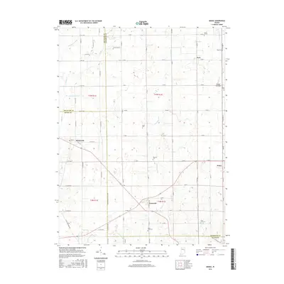
2016 Map of Modoc
USGS Topo · Published 2016About this map
Blountsville, Losantville, and Modoc anchor this section of eastern Indiana, where the borders of Delaware, Randolph, Henry, and Wayne counties converge. This landscape is defined by its agricultural grid and a network of small creeks and runs that fed the early rural economy. Nettle Cr and the Little White River flow through the central portion of the map, while the headwaters of the Flatrock River and Wilbur Wright Cr appear in the southwest corner.
Find a feature on this map
76 named features on this map. Tap any name to fly to it.
Don’t see what you’re looking for? This feature index may not catch every label — zoom into the map to look around manually.
Map Details
Editions of this 2016 Modoc Map
This is the sole edition of this map. No revisions or reprints were ever made.
Other maps of this area

1950 · New Castle East
USGS Topo · 1:24,000

1952 · Maxville
USGS Topo · 1:24,000

1952 · Muncie East
USGS Topo · 1:24,000

1952 · Farmland
USGS Topo · 1:24,000

1953 · Cincinnati
USGS Topo · 1:250,000

1953 · Muncie
USGS Topo · 1:250,000

1956 · Muncie
USGS Topo · 1:250,000

1957 · Cincinnati
USGS Topo · 1:250,000

1960 · New Castle East
USGS Topo · 1:24,000

1960 · Mount Pleasant
USGS Topo · 1:24,000