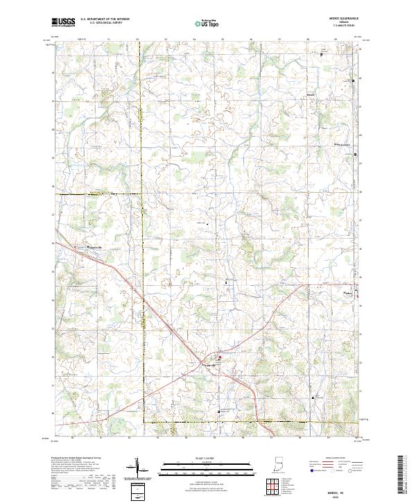
2022 Map of Modoc
USGS Topo · Published 2022About this map
Losantville and Modoc serve as central nodes in this rural landscape where the headwaters of several regional waterways emerge. The terrain is defined by the agricultural grid and the diagonal path of the Cardinal Greenway Trl, which follows a former rail corridor through the heart of the region. This transportation history is mirrored by the presence of small, established settlements like Blountsville and rural crossroads such as Pinch and Scott Corner.
Find a feature on this map
78 named features on this map. Tap any name to fly to it.
Don’t see what you’re looking for? This feature index may not catch every label — zoom into the map to look around manually.
Map Details
Editions of this 2022 Modoc Map
This is the sole edition of this map. No revisions or reprints were ever made.
Other maps of this area

1950 · New Castle East
USGS Topo · 1:24,000

1952 · Maxville
USGS Topo · 1:24,000

1952 · Muncie East
USGS Topo · 1:24,000

1952 · Farmland
USGS Topo · 1:24,000

1953 · Cincinnati
USGS Topo · 1:250,000

1953 · Muncie
USGS Topo · 1:250,000

1956 · Muncie
USGS Topo · 1:250,000

1957 · Cincinnati
USGS Topo · 1:250,000

1960 · New Castle East
USGS Topo · 1:24,000

1960 · Mount Pleasant
USGS Topo · 1:24,000