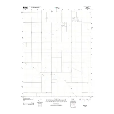
2009 Map of Modoc
USGS Topo · Published 2009About this map
Modoc stands as a primary settlement in this western Kansas landscape, defined by the organized grid of Scott County section lines. The rural character of the area is anchored by the Modoc Cemetery to the north, a vital site for genealogical research in this agricultural region. Waterways like Lion Creek and the long expanse of Rocky Draw snake across the otherwise geometric terrain, illustrating the natural drainage patterns that dictate the placement of farmsteads and transport routes. A network of named corridors, including Modoc Ln and S Cherokee Rd, connects the scattered developments. The map reveals a transition from traditional agriculture toward modern land division, visible in the detailed residential platting just east of the main Modoc townsite.
Find a feature on this map
16 named features on this map. Tap any name to fly to it.
Don’t see what you’re looking for? This feature index may not catch every label — zoom into the map to look around manually.
Map Details
Editions of this 2009 Modoc Map
This is the sole edition of this map. No revisions or reprints were ever made.
Other maps of this area

1939 · Sandon
USGS Topo · 1:62,500

1939 · Pence
USGS Topo · 1:62,500

1940 · Scott City
USGS Topo · 1:62,500

1941 · Modoc
USGS Topo · 1:62,500

1941 · Pence
USGS Topo · 1:62,500

1942 · Sandon
USGS Topo · 1:62,500

1951 · Scott City
USGS Topo · 1:62,500

1951 · Modoc
USGS Topo · 1:62,500

1955 · Scott City
USGS Topo · 1:250,000

1958 · Scott City
USGS Topo · 1:250,000