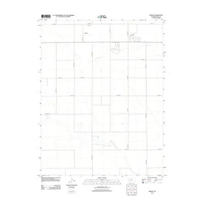
2012 Map of Modoc
USGS Topo · Published 2012About this map
Modoc stands as a focal point in this high-plains landscape of western Kansas, where the township structure is defined by an orderly grid of section lines and gravel routes. The settlement is anchored by the Modoc Cem, a significant site for genealogists and local historians tracing families in Scott County. The terrain is marked by the meandering path of Lion Cr, which cuts an irregular course through the geometric regularity of the surrounding agricultural land. This drainage provides a rare break in the flat horizon, creating subtle topographical variation in a region otherwise dominated by long-distance roads like W Road 160 and S Cherokee Rd. The sparse distribution of structures outside the main town site reflects the wide-open character of the High Plains in the early 21st century, illustrating the enduring relationship between small rural communities and the vast ranching and farming tracts that sustain them.
Find a feature on this map
17 named features on this map. Tap any name to fly to it.
Don’t see what you’re looking for? This feature index may not catch every label — zoom into the map to look around manually.
Map Details
Editions of this 2012 Modoc Map
This is the sole edition of this map. No revisions or reprints were ever made.
Other maps of this area

1939 · Sandon
USGS Topo · 1:62,500

1939 · Pence
USGS Topo · 1:62,500

1940 · Scott City
USGS Topo · 1:62,500

1941 · Modoc
USGS Topo · 1:62,500

1941 · Pence
USGS Topo · 1:62,500

1942 · Sandon
USGS Topo · 1:62,500

1951 · Scott City
USGS Topo · 1:62,500

1951 · Modoc
USGS Topo · 1:62,500

1955 · Scott City
USGS Topo · 1:250,000

1958 · Scott City
USGS Topo · 1:250,000