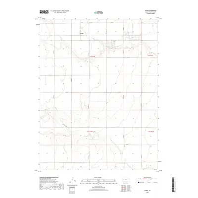
2018 Map of Modoc
USGS Topo · Published 2018About this map
The settlement of Modoc stands as the primary community in this portion of Scott County, positioned at the intersection of Modoc Ln and local county routes. This high plains landscape is defined by its agricultural grid and the seasonal drainage of Lion Cr, which carves through the northern sections of Township 18 South, Range 34 West. The presence of Modoc Cem north of the town site offers a localized point of interest for researchers tracing family history in the region.
Find a feature on this map
24 named features on this map. Tap any name to fly to it.
Don’t see what you’re looking for? This feature index may not catch every label — zoom into the map to look around manually.
Map Details
Editions of this 2018 Modoc Map
This is the sole edition of this map. No revisions or reprints were ever made.
Other maps of this area

1939 · Sandon
USGS Topo · 1:62,500

1939 · Pence
USGS Topo · 1:62,500

1940 · Scott City
USGS Topo · 1:62,500

1941 · Modoc
USGS Topo · 1:62,500

1941 · Pence
USGS Topo · 1:62,500

1942 · Sandon
USGS Topo · 1:62,500

1951 · Scott City
USGS Topo · 1:62,500

1951 · Modoc
USGS Topo · 1:62,500

1955 · Scott City
USGS Topo · 1:250,000

1958 · Scott City
USGS Topo · 1:250,000