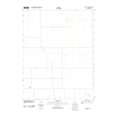
2009 Map of Modoc SW
USGS Topo · Published 2009About this map
Lydia Methodist Cemetery stands as a focal point for family history in this western Kansas landscape, which is largely defined by the agricultural grid of Wichita County. The terrain is bisected by the ephemeral drainage of White Woman Creek in the north and Sand Creek through the center, illustrating the subtle topography of the High Plains. While the map is dominated by section lines and rural routes like Co RD E and Co RD 22, it reveals the persistence of early 20th-century road networks, including the designated Fas 1679. This survey provides a clear view of the area before modern consolidation altered many of the smaller rural landmarks, preserving the location of local features like Crozier Draw for researchers tracing local land use or genealogy.
Find a feature on this map
11 named features on this map. Tap any name to fly to it.
Don’t see what you’re looking for? This feature index may not catch every label — zoom into the map to look around manually.
Map Details
Editions of this 2009 Modoc SW Map
This is the sole edition of this map. No revisions or reprints were ever made.
Other maps of this area

1941 · Modoc
USGS Topo · 1:62,500

1951 · Modoc
USGS Topo · 1:62,500

1955 · Scott City
USGS Topo · 1:250,000

1958 · Scott City
USGS Topo · 1:250,000

1965 · Leoti 3 NE
USGS Topo · 1:24,000

1965 · Wolf NW
USGS Topo · 1:24,000

1965 · Wolf NE
USGS Topo · 1:24,000

1970 · Leoti
USGS Topo · 1:24,000

1970 · Lydia
USGS Topo · 1:24,000
1976 · Modoc SW
USGS Topo · 1:24,000