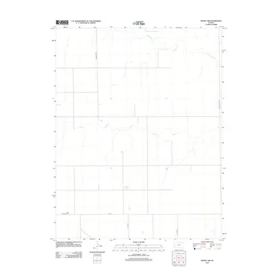
2012 Map of Modoc SW
USGS Topo · Published 2012About this map
Lydia Methodist Cem stands as a quiet focal point in this portion of Wichita County, marking the local history of the High Plains landscape. The area is defined by a sparse, grid-based road network, including Marienthal Rd and the Wichita-Scott Co Rd that follows the county line. The natural drainage of the region is traced by the seasonal paths of White Woman Cr and Sand Cr, which cut through the agricultural tracts. This 2012 survey illustrates the enduring rural character of the Kansas prairie, where development is centered on localized landmarks and the systematic division of land for farming. The map serves as a record of the precise land management in Leoti Township, documenting the intersections and watercourses that have shaped life in this part of the state for generations.
Find a feature on this map
8 named features on this map. Tap any name to fly to it.
Don’t see what you’re looking for? This feature index may not catch every label — zoom into the map to look around manually.
Map Details
Editions of this 2012 Modoc SW Map
This is the sole edition of this map. No revisions or reprints were ever made.
Other maps of this area

1941 · Modoc
USGS Topo · 1:62,500

1951 · Modoc
USGS Topo · 1:62,500

1955 · Scott City
USGS Topo · 1:250,000

1958 · Scott City
USGS Topo · 1:250,000

1965 · Leoti 3 NE
USGS Topo · 1:24,000

1965 · Wolf NW
USGS Topo · 1:24,000

1965 · Wolf NE
USGS Topo · 1:24,000

1970 · Leoti
USGS Topo · 1:24,000

1970 · Lydia
USGS Topo · 1:24,000
1976 · Modoc SW
USGS Topo · 1:24,000