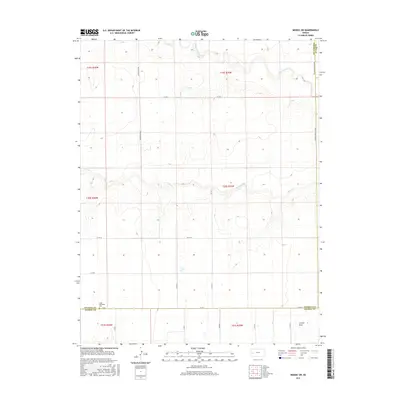
2015 Map of Modoc SW
USGS Topo · Published 2015About this map
Lydia Methodist Cem sits near the southern boundary of Wichita County, serving as a primary landmark for family historians researching this sparsely settled agricultural landscape. The terrain is defined by the intermittent drainage patterns of White Woman Cr and Sand Cr, which cut eastward through the High Plains. While the map is dominated by the geometric precision of the Public Land Survey System, the natural topography reveals itself in features like Crozier Draw in the southeast. A network of section roads, including Marienthal Rd and Co Rd E, connects the isolated farmsteads and agricultural plots that characterize this portion of the Kansas interior during the early twenty-first century.
Find a feature on this map
24 named features on this map. Tap any name to fly to it.
Don’t see what you’re looking for? This feature index may not catch every label — zoom into the map to look around manually.
Map Details
Editions of this 2015 Modoc SW Map
This is the sole edition of this map. No revisions or reprints were ever made.
Other maps of this area

1941 · Modoc
USGS Topo · 1:62,500

1951 · Modoc
USGS Topo · 1:62,500

1955 · Scott City
USGS Topo · 1:250,000

1958 · Scott City
USGS Topo · 1:250,000

1965 · Leoti 3 NE
USGS Topo · 1:24,000

1965 · Wolf NW
USGS Topo · 1:24,000

1965 · Wolf NE
USGS Topo · 1:24,000

1970 · Leoti
USGS Topo · 1:24,000

1970 · Lydia
USGS Topo · 1:24,000
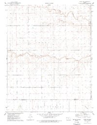
1976 · Modoc SW
USGS Topo · 1:24,000