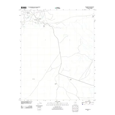
2011 Map of Moenkopi
USGS Topo · Published 2011About this map
Moenkopi and its neighboring Tuba City anchor this high-desert landscape in northern Arizona, illustrating the intersection of long-standing Hopi and Navajo lands. The map details a vital network of water sources in an arid environment, from John Etsitty Spring and Goldtooth Spring near the primary settlements to the more distant Ironwood Spring and the drainage of Pasture Canyon.
Find a feature on this map
19 named features on this map. Tap any name to fly to it.
Don’t see what you’re looking for? This feature index may not catch every label — zoom into the map to look around manually.
Map Details
Editions of this 2011 Moenkopi Map
This is the sole edition of this map. No revisions or reprints were ever made.
Other maps of this area

1886 · San Francisco Mtns
USGS Topo · 1:250,000

1886 · Echo Cliffs
USGS Topo · 1:250,000

1891 · San Francisco Mtns
USGS Topo · 1:250,000

1891 · Echo Cliffs
USGS Topo · 1:250,000

1894 · San Francisco Mtns
USGS Topo · 1:250,000

1899 · San Francisco Mtns
USGS Topo · 1:250,000

1947 · Flagstaff
USGS Topo · 1:250,000

1954 · Flagstaff
USGS Topo · 1:250,000

1955 · Cameron
USGS Topo · 1:62,500

1956 · Marble Canyon
USGS Topo · 1:250,000