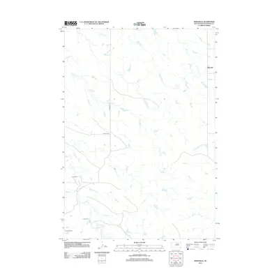
2012 Map of Moenville
USGS Topo · Published 2012About this map
Moenville serves as the primary landmark in this section of Haakon County, where the landscape is defined by the branching drainage systems of the South Dakota plains. The map details a ranching-focused environment, identifying established family-named properties such as Foland Ranch, Doud Ranch, and Schofield Ranch. These locations provide specific points of interest for genealogists tracing local land ownership and residency.
Find a feature on this map
12 named features on this map. Tap any name to fly to it.
Don’t see what you’re looking for? This feature index may not catch every label — zoom into the map to look around manually.
Map Details
Editions of this 2012 Moenville Map
This is the sole edition of this map. No revisions or reprints were ever made.
Other maps of this area

1954 · Pierre
USGS Topo · 1:250,000

1956 · Kirley
USGS Topo · 1:24,000

1956 · Cherry Creek
USGS Topo · 1:24,000

1958 · Pierre
USGS Topo · 1:250,000

1982 · Whiteman Ranch
USGS Topo · 1:24,000

1982 · May Ranch
USGS Topo · 1:24,000

1983 · Bentley Ranch
USGS Topo · 1:24,000

1983 · Mule Creek
USGS Topo · 1:24,000

1983 · Philip
USGS Topo · 1:100,000

1983 · Moenville
USGS Topo · 1:24,000