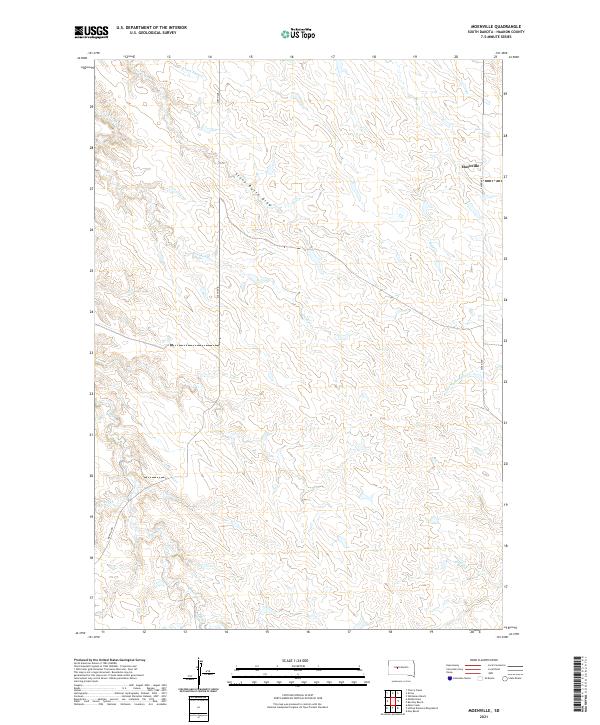
2021 Map of Moenville
USGS Topo · Published 2021About this map
Moenville serves as the primary landmark in this ranching landscape of northern Haakon County. The terrain is defined by a complex network of drainage draws and creeks that carve through the high plains, including Stony Butte Draw and the uniquely named Hermaphrodite Cr. The mapping reflects a rural infrastructure dependent on section-line roads like 243rd Ave and 238th Ave to navigate between the scattered water sources and topographical breaks.
Find a feature on this map
15 named features on this map. Tap any name to fly to it.
Don’t see what you’re looking for? This feature index may not catch every label — zoom into the map to look around manually.
Map Details
Editions of this 2021 Moenville Map
This is the sole edition of this map. No revisions or reprints were ever made.
Other maps of this area

1954 · Pierre
USGS Topo · 1:250,000

1956 · Kirley
USGS Topo · 1:24,000

1956 · Cherry Creek
USGS Topo · 1:24,000

1958 · Pierre
USGS Topo · 1:250,000

1982 · Whiteman Ranch
USGS Topo · 1:24,000

1982 · May Ranch
USGS Topo · 1:24,000

1983 · Bentley Ranch
USGS Topo · 1:24,000

1983 · Mule Creek
USGS Topo · 1:24,000

1983 · Philip
USGS Topo · 1:100,000

1983 · Moenville
USGS Topo · 1:24,000