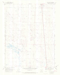
1968 Map of Moffat South
USGS Topo · Published 1971About this map
Moffat sits at the northern edge of this high-altitude San Luis Valley landscape, where the town's position was established alongside essential water sources and benchmarking. The terrain is defined by a complex hydrology of desert arroyos and perennial streams, including Ball Arroyo and Weaver Arroyo, which flow toward the central drainage of Saguache Creek. A distinctive feature of this late 1960s survey is the prevalence of artesian water, marked by numerous labels for Flowing Well, indicating a reliance on groundwater for the region's agricultural or ranching activities.
Find a feature on this map
24 named features on this map. Tap any name to fly to it.
Don’t see what you’re looking for? This feature index may not catch every label — zoom into the map to look around manually.
Map Details
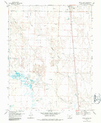
Editions of this 1968 Moffat South Map
2 editions found
Other maps of this area

1915 · Del Norte
USGS Topo · 1:125,000

1917 · Del Norte
USGS Topo · 1:125,000

1945 · Durango
USGS Topo · 1:250,000

1953 · Durango
USGS Topo · 1:250,000

1954 · Durango
USGS Topo · 1:250,000

1954 · Trinidad
USGS Topo · 1:250,000

1954 · Pueblo
USGS Topo · 1:250,000

1955 · Trinidad
USGS Topo · 1:250,000

1956 · Montrose
USGS Topo · 1:250,000

1957 · Pueblo
USGS Topo · 1:250,000