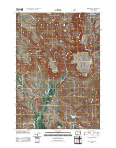
2011 Map of Moffit Table
USGS Topo · Published 2011About this map
The Malheur River winds through this high-desert landscape in Harney County, illustrating the vital connection between water sources and settlement in the American West. Family-named ranching sites such as the George Riley Ranch, Shelly Ranch, and Alvin Baker Ranch are clustered along the river and its tributaries, including Coyote Creek and Wolf Creek. These sites, along with the Azley Acton Cow Camp to the north, reflect the enduring livestock heritage of the region.
Find a feature on this map
26 named features on this map. Tap any name to fly to it.
Don’t see what you’re looking for? This feature index may not catch every label — zoom into the map to look around manually.
Map Details
Editions of this 2011 Moffit Table Map
This is the sole edition of this map. No revisions or reprints were ever made.
Other maps of this area

1908 · Ironside Mountain
USGS Topo · 1:125,000

1955 · Burns
USGS Topo · 1:250,000

1955 · Canyon City
USGS Topo · 1:250,000

1958 · Burns
USGS Topo · 1:250,000

1959 · Burns
USGS Topo · 1:250,000

1959 · Canyon City
USGS Topo · 1:250,000

1961 · Logan Valley
USGS Topo · 1:62,500

1968 · Drewsey
USGS Topo · 1:62,500

1968 · Van
USGS Topo · 1:62,500

1970 · Flag Prairie
USGS Topo · 1:62,500