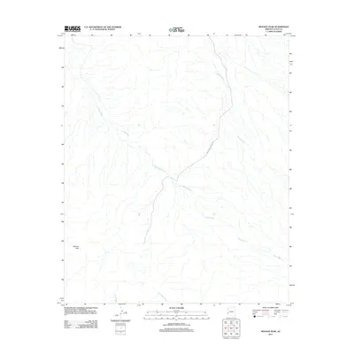
2011 Map of Mohave Peak
USGS Topo · Published 2011About this map
Mohave Peak stands as the primary landmark in this arid section of La Paz County, where the desert landscape is defined by an intricate network of drainage channels. The area is heavily marked by the presence of the Yuma Proving Ground, indicating the military significance of this terrain for testing and training operations in the early 21st century. Natural drainage follows the contours of the land through several major systems, including Mohave Wash, Gould Wash, McAllister Wash, and Yuma Wash. These ephemeral watercourses illustrate the hydrologic patterns of the region, showing how water moves from the higher elevations near the peak across the broad desert floor. The map provides a clear record of the boundary and restricted access nature of the proving grounds during this period.
Find a feature on this map
6 named features on this map. Tap any name to fly to it.
Don’t see what you’re looking for? This feature index may not catch every label — zoom into the map to look around manually.
Map Details
Editions of this 2011 Mohave Peak Map
This is the sole edition of this map. No revisions or reprints were ever made.
Other maps of this area

1934 · Trigo Peaks
USGS Topo · 1:48,000

1939 · Red Hill
USGS Topo · 1:62,500

1939 · Trigo Peaks
USGS Topo · 1:62,500

1942 · Blythe
USGS Topo · 1:250,000

1945 · Cibola
USGS Topo · 1:62,500

1945 · Picacho
USGS Topo · 1:62,500

1951 · Picacho
USGS Topo · 1:62,500

1951 · Cibola
USGS Topo · 1:62,500

1952 · Mule Wash
USGS Topo · 1:24,000

1954 · Salton Sea
USGS Topo · 1:250,000