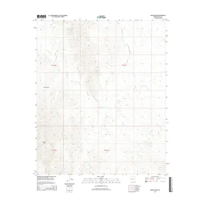
2014 Map of Mohave Peak
USGS Topo · Published 2014About this map
Mohave Peak dominates this landscape in western Arizona, serving as a prominent high point within the southern reach of the Trigo Mountains. The terrain is defined by an intricate network of desert drainages that carve through the arid topography, most notably Gould Wash, which winds extensively through the center of the survey. These dry watercourses, including Mohave Wash to the northeast and McAllister Wash further south, illustrate the natural hydrological patterns of the Sonoran Desert environment. The map provides a clear look at the township and range divisions, such as t1s r22w and t2s r21w, which organize the land before it descends toward the Colorado River valley to the west. This 2014 survey records a largely undeveloped wilderness area where natural landforms and seasonal drainage systems remain the primary geographic features.
Find a feature on this map
10 named features on this map. Tap any name to fly to it.
Don’t see what you’re looking for? This feature index may not catch every label — zoom into the map to look around manually.
Map Details
Editions of this 2014 Mohave Peak Map
This is the sole edition of this map. No revisions or reprints were ever made.
Other maps of this area

1934 · Trigo Peaks
USGS Topo · 1:48,000

1939 · Red Hill
USGS Topo · 1:62,500

1939 · Trigo Peaks
USGS Topo · 1:62,500

1942 · Blythe
USGS Topo · 1:250,000

1945 · Cibola
USGS Topo · 1:62,500

1945 · Picacho
USGS Topo · 1:62,500

1951 · Picacho
USGS Topo · 1:62,500

1951 · Cibola
USGS Topo · 1:62,500

1952 · Mule Wash
USGS Topo · 1:24,000

1954 · Salton Sea
USGS Topo · 1:250,000