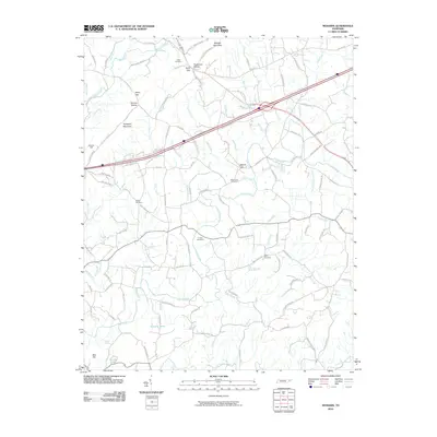
2010 Map of Mohawk
USGS Topo · Published 2010About this map
Bulls Gap and the surrounding valley in Greene County define the character of this East Tennessee landscape. The area is marked by a dense network of country roads, including historic routes such as Stagecoach Rd and Old Stage Rd, which trace the path of earlier transit through the gaps of Raleigh Mountain. Local industry and rural infrastructure are represented by the Darrow Mill and the Mohawk Post Office, while the spiritual and genealogical history of the community is preserved in numerous family-named burial sites like the Drake Cemetery, Wisecarver Cemetery, and Bible Cemetery. The terrain is drained by a complex system of waterways, from the prominent Lick Creek to smaller tributaries like War Branch and Cobble Branch, eventually feeding into Little Chucky Creek at the southern edge of the survey.
Find a feature on this map
107 named features on this map. Tap any name to fly to it.
Don’t see what you’re looking for? This feature index may not catch every label — zoom into the map to look around manually.
Map Details
Editions of this 2010 Mohawk Map
This is the sole edition of this map. No revisions or reprints were ever made.
Other maps of this area

1883 · Morristown
USGS Topo · 1:125,000

1892 · Greeneville
USGS Topo · 1:125,000

1893 · Morristown
USGS Topo · 1:125,000

1895 · Morristown
USGS Topo · 1:125,000

1896 · Greeneville
USGS Topo · 1:125,000

1904 · Greeneville
USGS Topo · 1:125,000

1935 · Surgoinsville
USGS Topo · 1:48,000

1935 · Rogersville
USGS Topo · 1:48,000

1935 · Parrottsville
USGS Topo · 1:24,000

1935 · McCloud
USGS Topo · 1:24,000