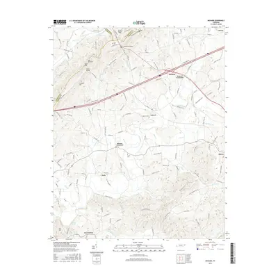
2016 Map of Mohawk
USGS Topo · Published 2016About this map
Bulls Gap serves as a prominent landmark where the boundaries of Hawkins, Hamblen, and Greene counties converge. This 2016 survey illustrates a landscape defined by small rural hubs and historical road networks like Stagecoach Rd and Bridge Burners Blvd. Settled areas such as Mosheim, Mohawk, and Warrensburg are interspersed with family-named landmarks and quiet burial grounds, including Drake Cem and Wisecarver Cem. The terrain transitions from the ridges of Bays Mountain and Raleigh Mtn down into the valleys of Lick Creek and Mink Cr. Geographers and local historians can observe the persistent settlement patterns at Skinner Crossroads and Mohawk Crossroads, where local infrastructure follows the winding paths of ancient watercourses like Whitehorn Creek and Potter Creek.
Find a feature on this map
128 named features on this map. Tap any name to fly to it.
Don’t see what you’re looking for? This feature index may not catch every label — zoom into the map to look around manually.
Map Details
Editions of this 2016 Mohawk Map
This is the sole edition of this map. No revisions or reprints were ever made.
Other maps of this area

1883 · Morristown
USGS Topo · 1:125,000

1892 · Greeneville
USGS Topo · 1:125,000

1893 · Morristown
USGS Topo · 1:125,000

1895 · Morristown
USGS Topo · 1:125,000

1896 · Greeneville
USGS Topo · 1:125,000

1904 · Greeneville
USGS Topo · 1:125,000

1935 · Surgoinsville
USGS Topo · 1:48,000

1935 · Rogersville
USGS Topo · 1:48,000

1935 · Parrottsville
USGS Topo · 1:24,000

1935 · McCloud
USGS Topo · 1:24,000