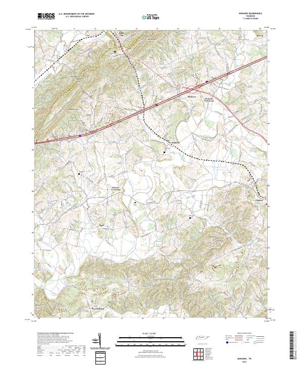
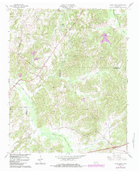
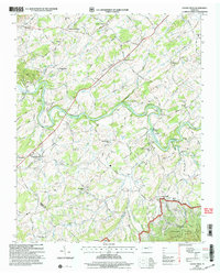
2022 Map of Mohawk
USGS Topo · Published 2022About this map
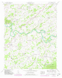
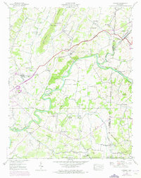
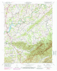
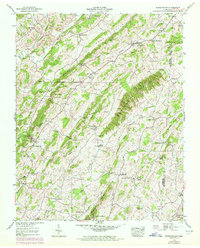
The boundary between Hamblen and Greene counties runs through this part of East Tennessee, anchored by the transportation corridor of the Norfolk Southern railroad and Interstate 81. Significant elevation changes define the northern landscape, where Raleigh Mountain and Bays Mountain rise above Bulls Gap. This pass has served as a critical transit point for generations, connecting the ridge-and-valley settlements.
Find a feature on this map
45 named features on this map. Tap any name to fly to it.
Don’t see what you’re looking for? This feature index may not catch every label — zoom into the map to look around manually.
Map Details
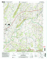
Editions of this 2022 Mohawk Map
This is the sole edition of this map. No revisions or reprints were ever made.
Historical Maps of Mohawk Crossroad Through Time
30 maps found
1935 Cedar Creek
Greene County, TN
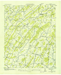
1935 Jearoldstown
Greene County, TN
1935 McCloud
Greene County, TN
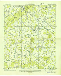
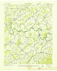
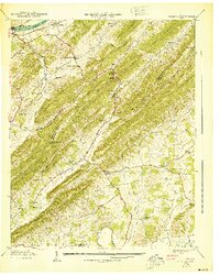
1935 Mohawk
Greene County, TN
1936 Chuckey
Greene County, TN
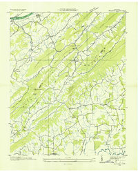
1936 Greystone
Greene County, TN
1936 Lake Davy Crockett
Greene County, TN
1939 Cedar Creek
Greene County, TN
1939 Chuckey
Greene County, TN
1939 Davy Crockett Lake
Greene County, TN
1939 Greystone
Greene County, TN
1939 Jearoldstown
Greene County, TN
1939 Mc Cloud
Greene County, TN
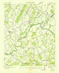
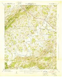
1939 Mohawk
Greene County, TN
1940 Davy Crockett Lake
Greene County, TN
1940 Mc Cloud
Greene County, TN
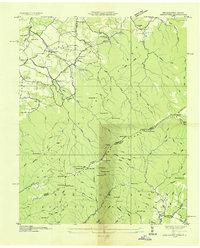
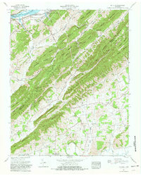
1940 Mohawk
Greene County, TN
1961 Mc Cloud
Greene County, TN
1966 Cedar Creek
Greene County, TN
2003 Cedar Creek
Greene County, TN
2003 Chuckey
Greene County, TN
2003 Davy Crockett Lake
Greene County, TN
2003 Greystone
Greene County, TN
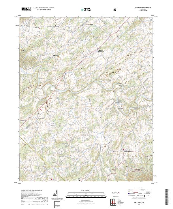
2022 Cedar Creek
Greene County, TN
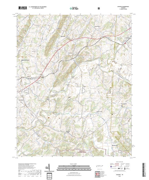
2022 Chuckey
Greene County, TN
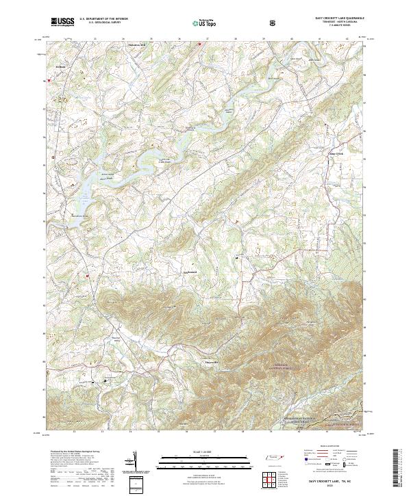
2022 Davy Crockett Lake
Greene County, TN
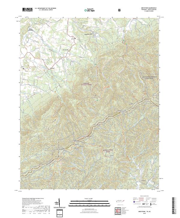
2022 Greystone
Greene County, TN
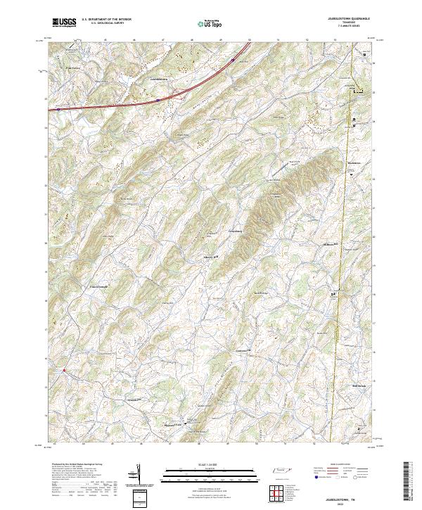
2022 Jearoldstown
Greene County, TN
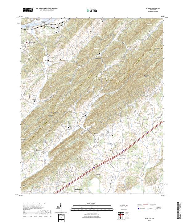
2022 McCloud
Greene County, TN
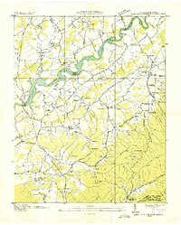
2022 Mohawk
Greene County, TN