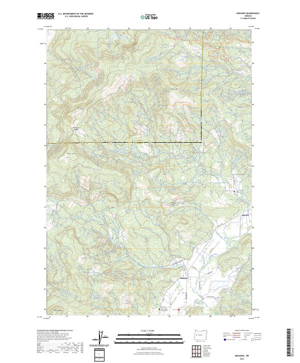
2023 Map of Mohawk
USGS Topo · Published 2023About this map
Marcola and the Mohawk settlement anchor the southeastern corner of this map, situated within the fertile Mohawk Valley as it follows the course of the Mohawk River. This landscape is a complex intersection of rural community life and modern recreation, where family-named roads like Conley Rd and Goats Rd lead toward the forested slopes of the Coburg Hills. The presence of the Mohawk Community Church and the adjacent Mohawk Community Church Cem offers a focal point for genealogical research in this part of Lane County.
Find a feature on this map
68 named features on this map. Tap any name to fly to it.
Don’t see what you’re looking for? This feature index may not catch every label — zoom into the map to look around manually.
Map Details
Editions of this 2023 Mohawk Map
This is the sole edition of this map. No revisions or reprints were ever made.
Other maps of this area

1909 · Rowland
USGS Topo · 1:31,680

1910 · Eugene
USGS Topo · 1:62,500

1912 · Halsey
USGS Topo · 1:62,500

1921 · Brownsville
USGS Topo · 1:62,500

1940 · Eugene
USGS Topo · 1:62,500

1941 · Halsey
USGS Topo · 1:62,500

1946 · Eugene
USGS Topo · 1:62,500

1949 · Eugene
USGS Topo · 1:62,500

1950 · Marcola
USGS Topo · 1:62,500

1950 · Brownsville
USGS Topo · 1:62,500