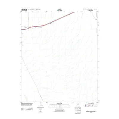
2011 Map of Mohawk Mountains NW
USGS Topo · Published 2011About this map
Mohawk Pass serves as a critical natural corridor through the desert, anchoring the transportation routes that cross this Yuma County landscape. By 2011, the modern interstate system defines movement through the area, centered on the Mohawk Interchange and the small settlement at Kim. The map illustrates a harsh environment where human infrastructure, such as Stoval Airfield in the northeast corner, sits alongside ephemeral drainage systems like San Cristobal Wash. To the south, the lonely path of Mohawk Papago Well Rd suggests the historical necessity of desert water access. This survey details the desert's character, where precise road alignments like Avenue 60 E contrast with the irregular, shifting textures of the arid terrain.
Find a feature on this map
8 named features on this map. Tap any name to fly to it.
Don’t see what you’re looking for? This feature index may not catch every label — zoom into the map to look around manually.
Map Details
Editions of this 2011 Mohawk Mountains NW Map
This is the sole edition of this map. No revisions or reprints were ever made.
Other maps of this area

1926 · Mohawk
USGS Topo · 1:62,500

1927 · Kim
USGS Topo · 1:62,500

1928 · Mohawk
USGS Topo · 1:62,500

1928 · Norton
USGS Topo · 1:62,500

1929 · Norton
USGS Topo · 1:62,500

1930 · Stoval
USGS Topo · 1:62,500

1931 · Kim
USGS Topo · 1:62,500

1950 · Stoval
USGS Topo · 1:62,500

1953 · Ajo
USGS Topo · 1:250,000

1955 · Growler
USGS Topo · 1:24,000