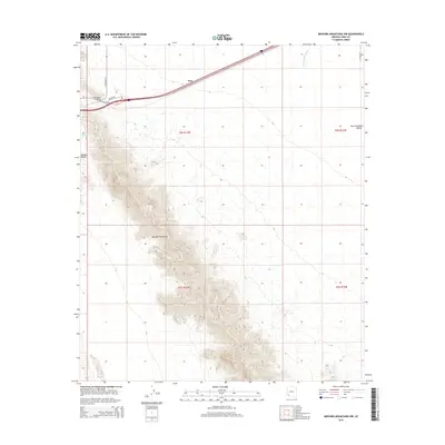
2014 Map of Mohawk Mountains NW
USGS Topo · Published 2014About this map
The Mohawk Mountains rise sharply through the center of this 2014 survey, dividing the arid plains of the Mohawk Valley from the San Cristobal Valley to the east. Modern infrastructure and historical routes converge at the northern end of the range, where Old US-80 winds through the gap at Mohawk Pass. The small settlement of Kim sits along the major transportation corridor that skirts the northern foothills, providing a focal point for this desert landscape.
Find a feature on this map
14 named features on this map. Tap any name to fly to it.
Don’t see what you’re looking for? This feature index may not catch every label — zoom into the map to look around manually.
Map Details
Editions of this 2014 Mohawk Mountains NW Map
This is the sole edition of this map. No revisions or reprints were ever made.
Other maps of this area

1926 · Mohawk
USGS Topo · 1:62,500

1927 · Kim
USGS Topo · 1:62,500

1928 · Mohawk
USGS Topo · 1:62,500

1928 · Norton
USGS Topo · 1:62,500

1929 · Norton
USGS Topo · 1:62,500

1930 · Stoval
USGS Topo · 1:62,500

1931 · Kim
USGS Topo · 1:62,500

1950 · Stoval
USGS Topo · 1:62,500

1953 · Ajo
USGS Topo · 1:250,000

1955 · Growler
USGS Topo · 1:24,000