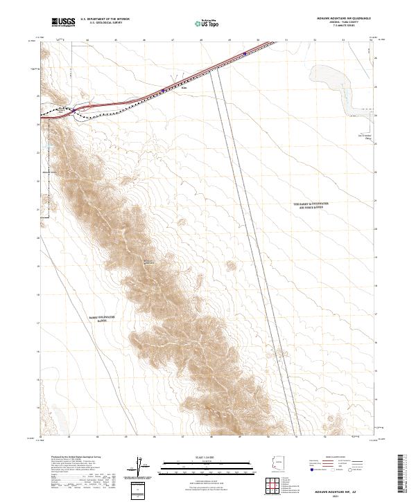
2021 Map of Mohawk Mountains NW
USGS Topo · Published 2021About this map
Mohawk Mountains dominate this arid landscape in Yuma County, providing a steep topographical barrier between the Mohawk Valley to the west and the San Cristobal Valley to the east. Transportation through this remote stretch of the Sonoran Desert is funneled through Mohawk Pass, a critical corridor for modern transit that follows the path of historical routes through the range. The small settlement of Kim appears along the northern transportation corridor, serving as one of the few named points of human activity in an area defined by dry watercourses like Owl Wash and San Cristobal Wash. This map illustrates how the harsh desert geography dictates the placement of infrastructure, concentrating all development near the pass while the surrounding mountain slopes remain largely undisturbed.
Find a feature on this map
13 named features on this map. Tap any name to fly to it.
Don’t see what you’re looking for? This feature index may not catch every label — zoom into the map to look around manually.
Map Details
Editions of this 2021 Mohawk Mountains NW Map
This is the sole edition of this map. No revisions or reprints were ever made.
Other maps of this area

1926 · Mohawk
USGS Topo · 1:62,500

1927 · Kim
USGS Topo · 1:62,500

1928 · Mohawk
USGS Topo · 1:62,500

1928 · Norton
USGS Topo · 1:62,500

1929 · Norton
USGS Topo · 1:62,500

1930 · Stoval
USGS Topo · 1:62,500

1931 · Kim
USGS Topo · 1:62,500

1950 · Stoval
USGS Topo · 1:62,500

1953 · Ajo
USGS Topo · 1:250,000

1955 · Growler
USGS Topo · 1:24,000