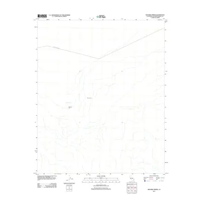
2012 Map of Mohawk Spring
USGS Topo · Published 2012About this map
Mohawk Spring sits at the heart of this high-desert landscape in San Bernardino County, a critical water source in an arid expanse defined by complex drainage patterns and scattered landmarks. The area's human footprint is sparse, represented primarily by the site at Browns Camp and the winding path of Turtle Mountain Rd as it traverses the northern portion of the terrain. To the south of the spring, the land rises toward the distinctively named Mexican Hat formation. This 2012 survey provides a clear view of the hydrological network and elevation contours that have dictated movement and seasonal occupation in this part of the California desert for generations.
Find a feature on this map
4 named features on this map. Tap any name to fly to it.
Don’t see what you’re looking for? This feature index may not catch every label — zoom into the map to look around manually.
Map Details
Editions of this 2012 Mohawk Spring Map
This is the sole edition of this map. No revisions or reprints were ever made.
Other maps of this area

1903 · Needles
USGS Topo · 1:125,000

1904 · Needles Special
USGS Topo · 1:125,000

1943 · Center Hills
USGS Topo · 1:62,500

1943 · Turtle Mts.
USGS Topo · 1:62,500

1950 · Sawtooth Range
USGS Topo · 1:62,500

1950 · Savahia Peak
USGS Topo · 1:62,500

1951 · Savahia Peak
USGS Topo · 1:62,500

1951 · Sawtooth Range
USGS Topo · 1:62,500

1954 · Needles
USGS Topo · 1:250,000

1954 · Turtle Mountains
USGS Topo · 1:62,500