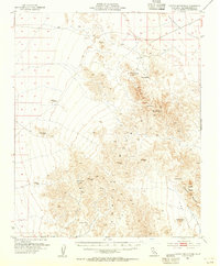
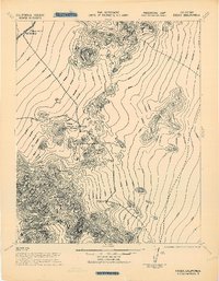
1954 Map of Turtle Mountains
USGS Topo · Published 1955About this map
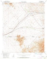
Mohawk Spring and several remote water sources define the survival infrastructure of this desert terrain, mapped just after the mid-century. The Turtle Mountains dominate the central landscape, acting as a natural divide between the north-sloping Chemehuevi Valley and the southern reaches of Vidal Valley. For those tracing early desert travel or mineral exploration, the map identifies isolated outposts such as Martins Well, Johnsons Well, and Carsons Wells. Scattered evidence of small-scale mining persists in the form of a Shaft and various Prospects and Tunnels, indicating the enduring search for resources in these arid peaks. The presence of these named wells and springs highlights how specific geodetic points like VABM Peak 4311 and the prominent Mopah Peaks served as critical landmarks for navigation and land management before more modern infrastructure arrived.
Find a feature on this map
24 named features on this map. Tap any name to fly to it.
Don’t see what you’re looking for? This feature index may not catch every label — zoom into the map to look around manually.
Map Details
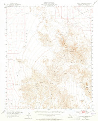
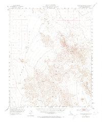
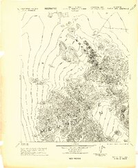
Editions of this 1954 Turtle Mountains Map
3 editions found
Other maps of this area

1903 · Needles
USGS Topo · 1:125,000

1904 · Needles Special
USGS Topo · 1:125,000

1942 · Amboy
USGS Topo · 1:250,000
1943 · Center Hills
USGS Topo · 1:62,500

1943 · Amboy
USGS Topo · 1:250,000
1943 · Essex
USGS Topo · 1:62,500
1943 · Turtle Mts.
USGS Topo · 1:62,500
1943 · Vidal
USGS Topo · 1:62,500
1943 · Iron Mountains
USGS Topo · 1:62,500
1949 · Vidal
USGS Topo · 1:62,500