
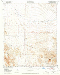
1950 Map of Savahia Peak
USGS Topo · Published 1959About this map
The Whipple Mountains dominate the southeastern landscape of this San Bernardino County region, serving as a significant hub for mid-century gold prospecting. The map records a cluster of mineral operations including the Gold Standard Mine and Gold Hill Mine, while several others like the Bessie Mine and Dollar Bill Mine are noted as inactive by 1950. These sites, along with the Cascade Gold Mine No 1 and Cascade Gold Mine No 2, highlight the era's transition from active production to historical remains in the California desert.
Find a feature on this map
15 named features on this map. Tap any name to fly to it.
Don’t see what you’re looking for? This feature index may not catch every label — zoom into the map to look around manually.
Map Details
Editions of this 1950 Savahia Peak Map
2 editions found
Other maps of this area

1903 · Needles
USGS Topo · 1:125,000

1904 · Needles Special
USGS Topo · 1:125,000

1911 · Parker
USGS Topo · 1:125,000

1943 · Center Hills
USGS Topo · 1:62,500

1943 · Topock
USGS Topo · 1:62,500

1943 · Whipple Mts.
USGS Topo · 1:62,500

1943 · Parker
USGS Topo · 1:62,500

1943 · Turtle Mts.
USGS Topo · 1:62,500

1943 · Vidal
USGS Topo · 1:62,500

1949 · Parker
USGS Topo · 1:62,500