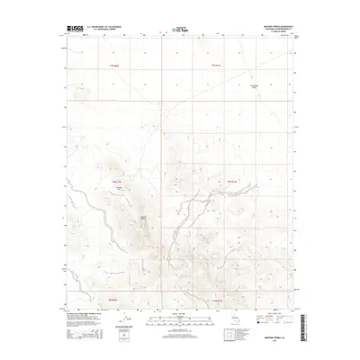
2015 Map of Mohawk Spring
USGS Topo · Published 2015About this map
Mohawk Spring and Coffin Spring provide critical water sources in this arid stretch of the Mojave Desert within San Bernardino County. The landscape is defined by its topographic extremes, ranging from the low-lying Chemehuevi Valley in the northeast to the elevated landmark of Mexican Hat. This 2015 U.S. Geological Survey topographic map reveals a territory largely shaped by the Public Land Survey System, with township and range lines like t4n r20e and t5n r21e segmenting the open terrain. The mapping detail shows how drainage patterns and elevation changes dictate the sparse placement of these vital springs, which have historically served as essential waypoints for desert travel and survival.
Find a feature on this map
11 named features on this map. Tap any name to fly to it.
Don’t see what you’re looking for? This feature index may not catch every label — zoom into the map to look around manually.
Map Details
Editions of this 2015 Mohawk Spring Map
This is the sole edition of this map. No revisions or reprints were ever made.
Other maps of this area

1903 · Needles
USGS Topo · 1:125,000

1904 · Needles Special
USGS Topo · 1:125,000

1943 · Center Hills
USGS Topo · 1:62,500

1943 · Turtle Mts.
USGS Topo · 1:62,500

1950 · Sawtooth Range
USGS Topo · 1:62,500

1950 · Savahia Peak
USGS Topo · 1:62,500

1951 · Savahia Peak
USGS Topo · 1:62,500

1951 · Sawtooth Range
USGS Topo · 1:62,500

1954 · Needles
USGS Topo · 1:250,000

1954 · Turtle Mountains
USGS Topo · 1:62,500