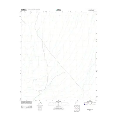
2011 Map of Mohawk SW
USGS Topo · Published 2011About this map
Copper Mountains dominate the western portion of this 2011 survey, where the arid landscape is defined by extensive drainage systems and sparse water resources. The terrain is largely undeveloped, reflecting the character of Yuma County’s desert expanses. Human presence is evidenced primarily by remote infrastructure such as Betty Lee Tank, which highlights the importance of water catchment systems in this arid environment. The map shows a network of unpaved roads and tracks that navigate the foothills, providing access to the higher elevations of the range and the various washes that cut through the surrounding desert floor.
Find a feature on this map
2 named features on this map. Tap any name to fly to it.
Don’t see what you’re looking for? This feature index may not catch every label — zoom into the map to look around manually.
Map Details
Editions of this 2011 Mohawk SW Map
This is the sole edition of this map. No revisions or reprints were ever made.
Other maps of this area

1926 · Wellton
USGS Topo · 1:62,500

1926 · Mohawk
USGS Topo · 1:62,500

1928 · Mohawk
USGS Topo · 1:62,500

1929 · Wellton
USGS Topo · 1:62,500

1942 · Yuma
USGS Topo · 1:250,000

1953 · Ajo
USGS Topo · 1:250,000

1954 · El Centro
USGS Topo · 1:250,000

1955 · El Centro
USGS Topo · 1:250,000

1957 · Ajo
USGS Topo · 1:250,000

1958 · Ajo
USGS Topo · 1:250,000