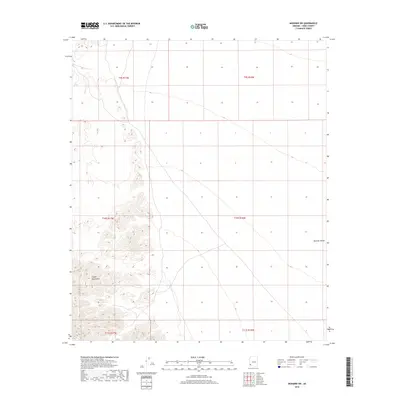
2018 Map of Mohawk SW
USGS Topo · Published 2018About this map
The Copper Mountains dominate the southwestern quadrant of this 2018 survey, their jagged contour lines indicating a sharp vertical rise from the desert floor. To the east, the landscape transitions into the wide, low-lying expanse of the Mohawk Valley, a terrain defined by subtle elevation changes and the desert drainage patterns of Yuma County. This map highlights the stark contrast between the steep mountain slopes and the broad valley floor, divided clearly by the Public Land Survey System grids such as t10s r17w and t10s r16w. The lack of modern settlement and roads on this sheet underscores the arid, undeveloped character of this portion of the Arizona desert.
Find a feature on this map
8 named features on this map. Tap any name to fly to it.
Don’t see what you’re looking for? This feature index may not catch every label — zoom into the map to look around manually.
Map Details
Editions of this 2018 Mohawk SW Map
This is the sole edition of this map. No revisions or reprints were ever made.
Other maps of this area

1926 · Wellton
USGS Topo · 1:62,500

1926 · Mohawk
USGS Topo · 1:62,500

1928 · Mohawk
USGS Topo · 1:62,500

1929 · Wellton
USGS Topo · 1:62,500

1942 · Yuma
USGS Topo · 1:250,000

1953 · Ajo
USGS Topo · 1:250,000

1954 · El Centro
USGS Topo · 1:250,000

1955 · El Centro
USGS Topo · 1:250,000

1957 · Ajo
USGS Topo · 1:250,000

1958 · Ajo
USGS Topo · 1:250,000