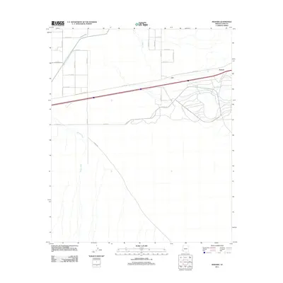
2011 Map of Mohawk
USGS Topo · Published 2011About this map
Mohawk sits at the heart of this Yuma County landscape, defined by a distinct transition from a rigid agricultural grid in the northwest to the untamed drainage patterns of the desert. The infrastructure is anchored by the historic Old Hwy 80, which parallels a modern interstate corridor, tracing a path through the arid terrain. The map captures the hydrological character of the region, where ephemeral systems like Owl Wash and Mohawk Wash cut through the sandy substrate, eventually converging in the eastern portion of the quadrangle. A dense network of local routes, such as S Avenue 45 E and Co 6th St S, services the rectangular farm plots, while the southeastern section remains largely open, marked by the lone peak of Owl and the broad sweep of Mohawk Wis.
Find a feature on this map
23 named features on this map. Tap any name to fly to it.
Don’t see what you’re looking for? This feature index may not catch every label — zoom into the map to look around manually.
Map Details
Editions of this 2011 Mohawk Map
This is the sole edition of this map. No revisions or reprints were ever made.
Other maps of this area

1926 · Mohawk
USGS Topo · 1:62,500

1927 · Kim
USGS Topo · 1:62,500

1928 · Mohawk
USGS Topo · 1:62,500

1928 · Norton
USGS Topo · 1:62,500

1929 · Norton
USGS Topo · 1:62,500

1930 · Stoval
USGS Topo · 1:62,500

1931 · Kim
USGS Topo · 1:62,500

1950 · Stoval
USGS Topo · 1:62,500

1953 · Ajo
USGS Topo · 1:250,000

1955 · Growler
USGS Topo · 1:24,000