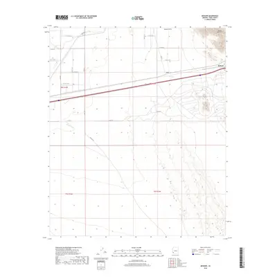
2018 Map of Mohawk
USGS Topo · Published 2018About this map
The Mohawk Valley landscape is dominated by the dramatic rise of the Mohawk Mountains in the northeast, where steep contours define the desert horizon. This arid region of Yuma County centers on the settlement of Mohawk, situated along a major transportation corridor that parallels the ancient drainage of Owl Wash. To the west, the smaller settlement of Owl sits near the junction of several section-line roads, including E Co 6th St and S Ave 45 E. The arid nature of the terrain is evidenced by the prominent Mohawk Wash and the presence of Mohawk Wls, indicating the critical importance of water management in this segment of the Sonoran Desert. The map captures a grid of rural roads like S Ave 46 E that attempt to tame the open spaces between the mountains and the desert floor.
Find a feature on this map
23 named features on this map. Tap any name to fly to it.
Don’t see what you’re looking for? This feature index may not catch every label — zoom into the map to look around manually.
Map Details
Editions of this 2018 Mohawk Map
This is the sole edition of this map. No revisions or reprints were ever made.
Other maps of this area
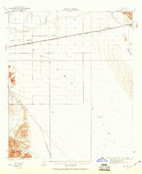
1926 · Mohawk
USGS Topo · 1:62,500
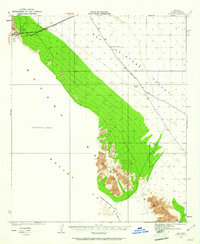
1927 · Kim
USGS Topo · 1:62,500
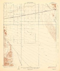
1928 · Mohawk
USGS Topo · 1:62,500
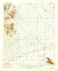
1928 · Norton
USGS Topo · 1:62,500
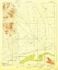
1929 · Norton
USGS Topo · 1:62,500
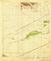
1930 · Stoval
USGS Topo · 1:62,500
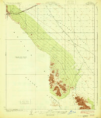
1931 · Kim
USGS Topo · 1:62,500
1950 · Stoval
USGS Topo · 1:62,500
1953 · Ajo
USGS Topo · 1:250,000
1955 · Growler
USGS Topo · 1:24,000