
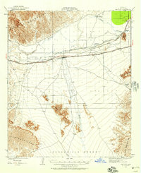
1926 Map of Mohawk
USGS Topo · Published 1960About this map
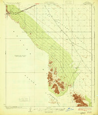
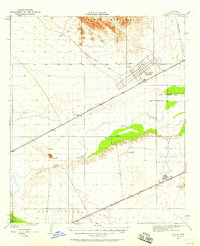
The Southern Pacific railroad corridor defines the development of this desert corridor during the mid-1920s, connecting small trackside stops such as Mohawk, Pembroke, Colfred, and Gael. This transit-oriented landscape is bounded to the north by the Gila River and the fertile Gila Valley, while the southern reaches are dominated by the sharp elevations of the Mohawk Mts and Copper Mountains.
Find a feature on this map
18 named features on this map. Tap any name to fly to it.
Don’t see what you’re looking for? This feature index may not catch every label — zoom into the map to look around manually.
Map Details
Editions of this 1926 Mohawk Map
This is the sole edition of this map. No revisions or reprints were ever made.
Other maps of this area
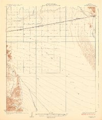
1926 · Wellton
USGS Topo · 1:62,500

1927 · Kim
USGS Topo · 1:62,500
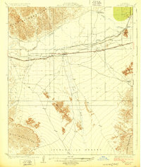
1928 · Mohawk
USGS Topo · 1:62,500

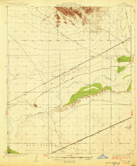
1928 · Norton
USGS Topo · 1:62,500
1929 · Wellton
USGS Topo · 1:62,500

1929 · Norton
USGS Topo · 1:62,500
1930 · Stoval
USGS Topo · 1:62,500
1931 · Kim
USGS Topo · 1:62,500

1942 · Yuma
USGS Topo · 1:250,000
1950 · Stoval
USGS Topo · 1:62,500