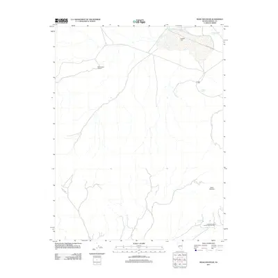
2011 Map of Moho Mountain
USGS Topo · Published 2011About this map
Garfield Mill and the Federal Mining and Engineering Company Mill anchor the industrial geography of this Mineral County landscape, highlighting the persistent mining interests in the high desert. The terrain is dominated by the broad expanse of Garfield Flat and the towering presence of Moho Mountain to the southeast. Water remains a critical element for both mining and survival in this arid environment, evidenced by the clustered resources of Garfield Spring and Belleville Springs. Infrastructure for water management is clearly marked, including Garfield Reservoir Number One and Garfield Reservoir Number Two, which serve the needs of the surrounding operations. Travel through the area follows established routes like Garfield Flats Rd and cuts through the natural corridor of Rattlesnake Canyon.
Find a feature on this map
10 named features on this map. Tap any name to fly to it.
Don’t see what you’re looking for? This feature index may not catch every label — zoom into the map to look around manually.
Map Details
Editions of this 2011 Moho Mountain Map
This is the sole edition of this map. No revisions or reprints were ever made.
Other maps of this area

1909 · Hawthorne
USGS Topo · 1:250,000

1911 · Hawthorne
USGS Topo · 1:250,000

1915 · Hawthorne
USGS Topo · 1:250,000

1948 · Walker Lake
USGS Topo · 1:250,000

1957 · Walker Lake
USGS Topo · 1:250,000

1962 · Walker Lake
USGS Topo · 1:250,000

1964 · Walker Lake
USGS Topo · 1:250,000

1967 · Pamlico
USGS Topo · 1:24,000

1967 · Moho Mountain
USGS Topo · 1:24,000

1967 · Mina NW
USGS Topo · 1:24,000