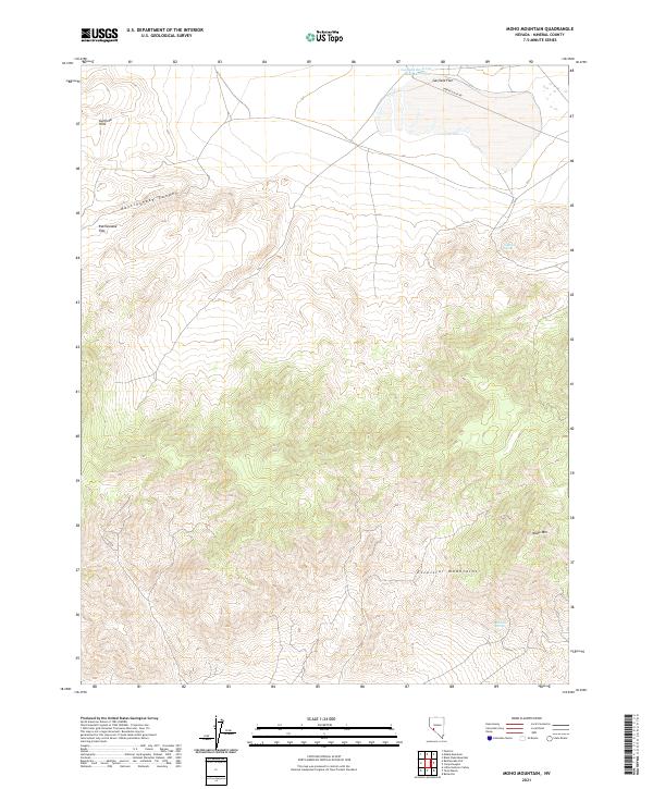
2021 Map of Moho Mountain
USGS Topo · Published 2021About this map
The Excelsior Mountains dominate the southern half of this Mineral County landscape, rising sharply above the desert floor. In the northern reaches, the Garfield Hills frame the broad expanse of Garfield Flat, where Garfield Flat Rd provides the primary access route through this arid terrain. This 2021 survey illustrates a land where water sources are vital but sparse, marked by the presence of Garfield Reservoir Number Two and seasonal points like Garfield Spring.
Find a feature on this map
15 named features on this map. Tap any name to fly to it.
Don’t see what you’re looking for? This feature index may not catch every label — zoom into the map to look around manually.
Map Details
Editions of this 2021 Moho Mountain Map
This is the sole edition of this map. No revisions or reprints were ever made.
Other maps of this area

1909 · Hawthorne
USGS Topo · 1:250,000

1911 · Hawthorne
USGS Topo · 1:250,000

1915 · Hawthorne
USGS Topo · 1:250,000

1948 · Walker Lake
USGS Topo · 1:250,000

1957 · Walker Lake
USGS Topo · 1:250,000

1962 · Walker Lake
USGS Topo · 1:250,000

1964 · Walker Lake
USGS Topo · 1:250,000

1967 · Pamlico
USGS Topo · 1:24,000

1967 · Moho Mountain
USGS Topo · 1:24,000

1967 · Mina NW
USGS Topo · 1:24,000